NEW ORLEANS, La. — After a soaking weekend, New Orleans gets a mostly dry break on Monday, but the National Weather Service office in Slidell expects rain to return on Election Day as a cold front pushes into southeast Louisiana.
Monday stays mostly cloudy and mild, with a high near 78 and only a 20 percent chance of a shower around midday. An east wind of 10 to 15 mph is still pushing water toward the coast, and a coastal flood advisory covers areas where minor flooding is possible at high tide through Monday morning. Temperatures barely move tonight, holding near 73. Earlier high-tide advisories reached eastern Orleans Parish as well as St. Bernard and St. Tammany.
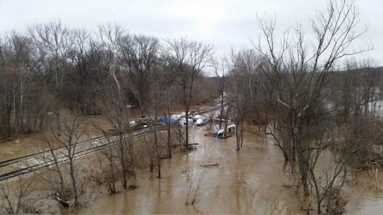
Weekend rain hit parts of the area hard. Metairie, Kenner and Bucktown picked up 6 to 8 inches, and Pearl River County across the state line in Mississippi recorded 15 to 17 inches in about six hours near Crossroads.
Tuesday turns warmer and stickier, with a high near 81 and a 40 percent shot at showers and storms, most likely in the late afternoon. Dew points climb back into the upper 60s to around 70 ahead of the front, so it will feel humid at the polls. Voters should keep rain gear handy, though most of the metro is expected to see half an inch of rain or less.
Forecasters say the front now looks weaker than earlier guidance suggested, which lowers the odds of widespread storms overnight. A few stronger storms are still possible Tuesday night into early Wednesday, while the highest severe and flash flood risk stays to the north over northern Louisiana and western Mississippi. Wednesday keeps a 40 percent rain chance with a high near 80.
Filed under: New Orleans LA Weather News