
News Summary
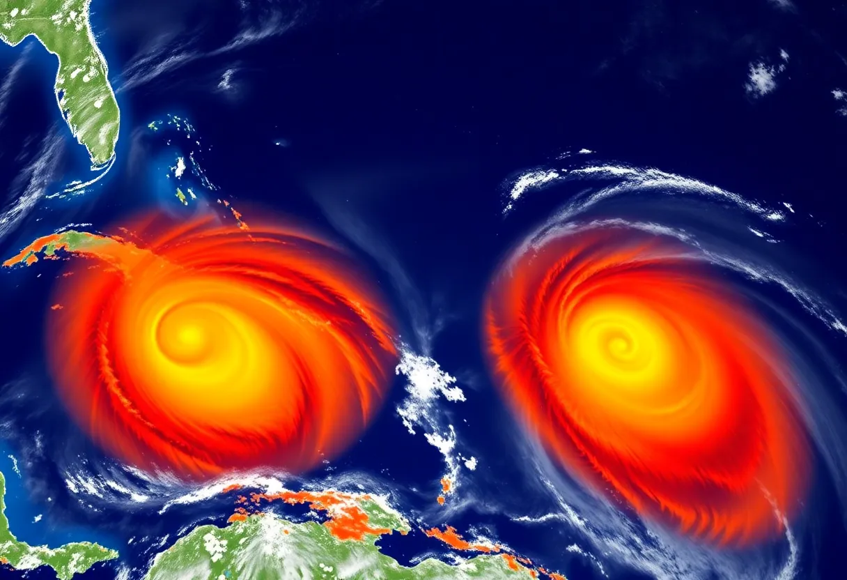
The National Hurricane Center is tracking two weather systems in the Atlantic, with one designated as INVEST 97L showing a significant potential to develop into a tropical depression. The second system, INVEST 96L, is moving northward but currently has a low chance of development. Residents are advised to stay informed and prepared as the hurricane season progresses.
New Orleans, LA
The National Hurricane Center (NHC) is currently monitoring two weather systems in the Atlantic, with one showing a significant potential to develop into the first hurricane of the 2023 season within the next week. Forecasters depict a concerning situation as weather patterns begin to shift, and residents in various regions are advised to remain vigilant.
System 1: Central Atlantic – INVEST 96L
The first system, designated as INVEST 96L, is located in the central tropical Atlantic and exhibits disorganized showers and thunderstorms, associated with a trough of low pressure. This system is moving northward and has shown possibilities of gradual development by mid-week. Currently, the chance of development over the next two days is low, near 10%, and over the following three to seven days, it increases slightly to 20%. Fortunately, no impacts from this system are expected in Southeast Louisiana.
System 2: Off the Coast of Africa – INVEST 97L
The second system, identified as INVEST 97L, is situated off the coast of Africa near the Cabo Verde Islands. This system has seen significant organization lately, particularly around a well-defined low-pressure area. Meteorologists predict that a small increase in organization could lead to the development of a tropical depression as it progresses over the Cabo Verde Islands. Regardless of its development, the islands should brace for locally heavy rainfall and gusty winds.
Forecast models indicate that INVEST 97L will likely move west-northwestward this week and may turn northwest by the end of the week. The chance of development over the next two days stands at a medium rate of 60%, while its chances of development over the next three to seven days are high at 90%. The most reliable model projections suggest that this system is expected to move away from Louisiana, directing its path towards the U.S. East Coast.
Recent Tropical Outlook
In conjunction with the monitoring of these systems, last week, the Climate Prediction Center issued a long-range tropics outlook indicating a greater than 40% chance of tropical development in the central tropical Atlantic between August 13th and August 19th. Furthermore, the area near the Cabo Verde Islands has an over 20% chance of development due to tropical waves moving out from the African coast.
Understanding Cabo Verde Hurricanes
Cabo Verde hurricanes are known for their intensity but have a rarity of reaching the United States compared to storms that develop closer to the U.S. coastline. Historical analysis of 235 hurricane tracks from 1995 to 2024 reveals that out of 60 hurricanes impacting the U.S., only 9 were of the Cabo Verde variety. This statistic underscores the complexities involved with these storms, which tend to lose their strength during the extensive trek over the ocean before making landfall.
Several factors hinder the likelihood of Cabo Verde hurricanes reaching U.S. shores. These include the long distances they travel, unfavorable atmospheric conditions such as dry air and wind shear, and fluctuations in the Bermuda-Azores high-pressure system. However, when these hurricanes do strike the U.S., like Hurricane Florence and Hurricane Irma, they are often quite destructive.
Seasonal Patterns
The frequency of Cabo Verde hurricanes typically escalates during the months of August and September. As the Atlantic hurricane season continues, the NHC’s ongoing monitoring and data analysis remain critical for forecasting and preparedness efforts across affected regions.
Residents in coastal areas are encouraged to stay informed about these systems as the situation develops, adhering to guidance from local weather authorities and emergency management officials. Preparation and awareness remain key components to safety during this hurricane season.
Deeper Dive: News & Info About This Topic
- Weather.com: Cabo Verde Hurricanes’ US Impact
- Wikipedia: Hurricane
- AOL: Cape Verde Hurricanes
- Google Search: Cabo Verde hurricanes
- Local 10: Hurricane Coverage
- Google Scholar: Cabo Verde hurricanes
- Reuters: Cyclone Over Cabo Verde Islands
- Encyclopedia Britannica: Cabo Verde Hurricanes
- WPBF: Tracking Wave Off Africa
- Google News: Cabo Verde hurricanes


